
Trace Norfolk Streets by Address
A Norfolk address search is a chain, not one result screen. Norfolk AIR gives the current parcel-facing facts. Interactive Norfolk shows where that parcel sits among lots, street centerlines, civic geography, and adjacent polygons. The Circuit Court Clerk supplies the recorded instrument that establishes a legal transfer. The voter system and old reverse directories can add limited evidence about a registered voter or historical occupant. Keep the result in its own column, because an owner, a voter, and a past directory occupant can be different people.
Start with the full address as written, then retain both the modern form and the original form from any old source. Save the GPIN or tax account, the situs address, the owner display, the legal description, and the date of each result. Those keys make it possible to recover from a missing number, a renamed street, a parcel split, or a listing that uses a former Norfolk locality.
- Run the address or street through Norfolk AIR and record the normalized situs address, GPIN or account number, owner display, mailing address, and parcel map.
- Open Interactive Norfolk, turn on parcels, addresses, parcel labels, and street centerlines, then identify the target polygon and its adjoining parcels.
- Use the legal description, lot and block, current owner, or prior instrument reference in the Circuit Court Clerk's deed tools.
- Read the current deed, note grantor, grantee, recording date, and prior reference, then follow the earlier owner as grantee when tracing backward.
- Check AIR permits, code cases, and aerials to date work on the parcel without treating those records as a people list.
- For earlier occupants, search Slover's reverse-street directory section, then test the entry in alphabetical directories, census, newspapers, and deeds.
Note: A well-kept Norfolk street search preserves the printed address and the modern address so later checks can explain a mismatch.
Norfolk AIR Street Directory
Norfolk AIR is the strongest current starting point for a street-by-street search. It accepts an address, tax account number, GPIN, or street name. A result can link ownership, situs and mailing addresses, assessment and sale history, building details, sketches, photographs, parcel maps, permits, code cases, civic information, school districts, and public-safety geography. For a long Norfolk street, the advanced filters can narrow results by ZIP, block, ward, civic league, zoning, year built, property use, assessment, sale date, sale value, and parcel area.
A mailing address is often useful for understanding an owner's contact location, but it is not proof that the owner is physically at the parcel. The same caution applies to an owner display in a condominium, a vacant lot, a merged parcel, or a multi-address building. Save the address and parcel evidence first, then move to the legal record.
| Norfolk AIR field | Type | Street-directory use |
|---|---|---|
| Address, tax account, GPIN | Text or autocomplete | Starts a parcel-specific lookup |
| Street name | Text or map browse | Supports a whole-street review |
| ZIP Code and Block # | Optional dropdown filters | Narrows a street segment |
| Ownership and mailing address | Result fields | Shows owner context, not every occupant |
| Sale, assessment, and building details | Result sections and filters | Dates and compares parcel history |
| Civic League, Ward, Superward | Optional geography filters | Connects the street to local boundaries |
Norfolk AIR presents the combined property and address search used at the start of a Norfolk street directory search.
The AIR result is a practical bridge from a street number to a parcel. It does not replace a deed, a certified record, or a verified statement from the record custodian.
- Parcel
- A mapped piece of land with an assessor record and boundary.
- Situs address
- The physical address assigned to that parcel.
- Plat
- A surveyed map that connects a lot, block, subdivision, or boundary to land records.
- Criss-cross directory
- A historical directory arranged by street and number, with the listed occupant after the address.
Norfolk Parcel Map by Street
Interactive Norfolk is a map, not a name directory. Its address search and identify tools help locate the street segment, while parcel boundaries, lots, parcel labels, address labels, and street centerlines show the geometry around a selected address. The map also carries ZIP boundaries, City Limit, civic leagues, neighborhood service areas, wards, census tracts, zoning, flood zones, polling locations, schools, and aerial imagery. These layers explain why two nearby Norfolk addresses can have different postal, civic, or jurisdiction labels.
Use the map in a fixed order: find the address, enable parcels and address labels, identify the polygon, inspect adjoining polygons, and then return to AIR for owner or building detail. The measure tool can record distance or area, but it does not establish ownership. A map popup is geographic evidence. The assessor card and recorded deed carry the stronger property conclusion.
Interactive Norfolk shows the city map tools and the parcel, ZIP, civic-league, and street-centerline layers used for a Norfolk street directory review.
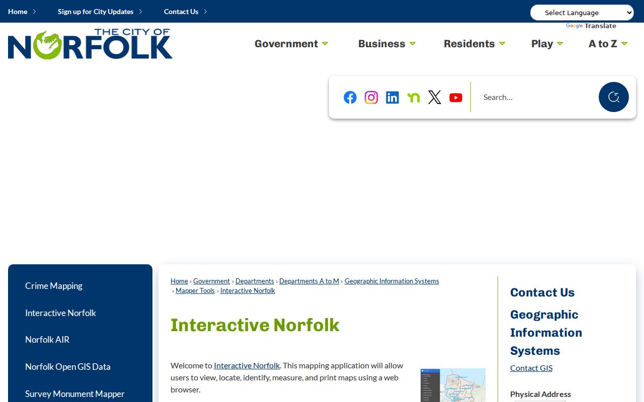
For a street sweep, record one row per parcel rather than one row per person. Flag vacant lots, city-affiliated parcels, multi-address buildings, and split or merged parcels so a missing house number is not mistaken for a missing resident.
Norfolk Street Deed Trails
Norfolk's recorded land trail is keyed by legal identity before it is keyed by a familiar street string. Start with the AIR owner and parcel information, then use a legal description, subdivision, lot and block, book and page, instrument reference, or owner name in the Norfolk Circuit Court Clerk's Office, Land Record Division / Secure Remote Access (SRA) system. Read a deed for grantor, grantee, recording date, consideration, legal description, deed type, signature or notary, restrictions, easements, and prior instrument references. Plats bridge an address to a legal lot when an index does not recognize the current street number.
The clerk says land records are open to the public, but staff does not conduct searches for requesters. Its public record-room software and Special Index provide a counter route. Secure Remote Access is subscription-only, listed at $50 per month or $600 per year, and its coverage table begins deeds and land records in 1784. The clerk also reports that more than seven million land-record images are being imported, with images reported back to 1682. Those statements describe access routes, not a promise that every instrument will appear under one modern name spelling.
The Norfolk Circuit Court deed page identifies the Land Record Division, Special Index, VA Deed Alert, and the public-record access route.
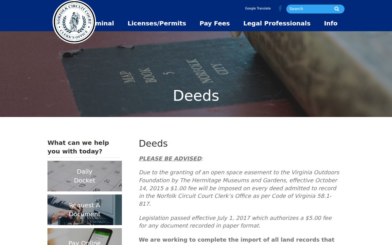
Search the seller as grantor to locate a later conveyance and the earlier owner as grantee to work backward. If a street string fails, try a former street name, lot and block, legal description, adjacent parcel, or owner-name variation.
Norfolk Street Records Compared
Address-keyed records work together because each uses a different key. AIR begins with address, account, GPIN, or street name. GIS adds the parcel's place and local geography. The clerk connects the parcel to recorded instruments. The Treasurer's account route can address tax questions. Planning and code systems document public work or enforcement history. Historical directories and census records help with older occupant questions. A Norfolk street directory search should state what each source shows and what it cannot establish.
| Address record | Primary key | Norfolk clue | Access |
|---|---|---|---|
| AIR assessment record | Address, account, GPIN, street | Owner, parcel, situs, mailing, sale and building details | Free city application |
| GIS parcel map | Address and parcel geometry | Adjoining parcels, ZIP, civic, ward, zoning, aerials | Free map viewer |
| Deed and land index | Party, legal description, book or page | Transfers, liens, plats, legal title trail | Counter, Special Index, or SRA |
| Permit and code records | Address, permit, or case | Work, inspection, complaint, and status dates | AIR, dashboard, or custodian request |
| Reverse directory | Street and number | Historical occupant associated with an address | Slover digital and reference routes |
| Voter record | Name and authorized list process | Limited statutory voter information | Citizen Portal, office, or state process |
The chain is not a shortcut to a block roster. A tax mailing address, a parcel owner, a voter, a permit contact, and an old directory occupant can all differ. Preserve the record date and custodian beside every Norfolk street result.
Norfolk Street Permit Files
Norfolk AIR includes building permits and code-enforcement cases. The city's public code information can be searched by address and can show complaints, special programs, violations, inspections, and status. The code-investigation form also uses an address, owner, permit number, inspection date, and follow-up information. These are useful records for dating construction, an addition, an alteration, or a public case. They can also identify a legal property owner at a particular point in time.
They are not a street directory of residents. A permit or code entry does not establish who lived at the address, and private utility-customer data are not part of the public AIR chain. When a needed public file is missing from the dashboard, request an existing record from the named custodian with the property address, date range, and record series. Virginia FOIA does not compel the city to assemble a new list.
Norfolk Reverse Street Directory
For historical occupancy, the street sections of Norfolk and Portsmouth directories are the address-first route. The digitized collection covers 1801 through 1931 and contains alphabetical names, reverse street listings, business material, and public-office sections. Search the street section by name and number, record the entry exactly as printed, then look for the person in the alphabetical section for occupation or family context. Directory books usually contain the previous year's information, and some years are absent, so one volume should not be read as a precise move date.
Sargeant Memorial Collection at Slover Library holds the physical regional directory shelf along with newspapers, yearbooks, maps, census microfilm, and public-record books. Its Monday phone or web consultations and Tuesday through Friday in-person reference hours give Norfolk researchers a fallback when a digitized volume is unclear. The collection's historical volumes are examined in full on the Norfolk Directory Book.
Copy cardinal directions, alley or wharf names, apartment or floor notation, and the locality label before normalizing an old address for AIR or USPS. An entry marked Berkley, Portsmouth, or Norfolk County can be a vital local clue rather than a mistaken result.
Norfolk Street Name Changes
Norfolk's annexation history creates a real address-search trap. The city publishes maps and PDFs for Norfolk to 1845, 1845 to 1887, 1890, 1902, 1906, 1911, 1923, 1955, and 1959/1988. The 1923 history notes that Atlantic Boulevard became Hampton Boulevard during the 1920s. A historical street entry may also use the name of an annexed neighborhood or former Norfolk County territory that no longer matches a modern AIR result.
Before treating an absent address as a dead end, compare nearby cross streets, the street-centerline layer, legal descriptions, lot and block, and the city annexation maps. The Norfolk Neighborhood Histories resource supplies the local maps needed to bridge that name change. This Norfolk geography is why a street-by-street record trail often needs two address columns: original wording and modern normalized form.
Norfolk Voter Records by Street
Virginia public voter records are limited by statute. Va. Code §24.2-444 identifies name, address, year of birth, gender, and applicable election districts as ordinary public-list fields, while excluding Social Security data, day and month of birth, protected residence addresses, and other registration records. The Virginia Department of Elections Citizen Portal is designed for registration status, polling place, districts, absentee status, and voting-history functions. It is not a street-wide export tool.
A street-level voter file follows the Virginia Department of Elections request process and its authorized client, product, locality, filter, and use rules. Protected addresses remain withheld, and a person who is not registered will not appear. For Norfolk street directory research, keep any public voter evidence separate from parcel and deed evidence. The address may support a limited registration conclusion, not a conclusion about every person at that location.
Norfolk Street Directory Limits
A Norfolk street directory cannot reveal a complete set of people at each address. Assessor and AIR records focus on parcels and owners. Owner mailing fields can differ from the situs address. GIS shows public geography, not private household information. Court, vital, DMV, protected-voter, sealed, and private utility records have separate limits. Old directories may omit a year, use initials, describe a prior year, or label an address with a former locality.
When an address record is wrong or incomplete, use the custodian that created it. The assessor handles property facts, the Circuit Court Clerk handles land-record routing, Elections handles voter procedures, and Slover or the Library of Virginia can help with historical collections. A privacy restriction should be respected, not worked around.
Note: A Norfolk street directory result is strongest when it identifies the custodian, date, parcel key, and the specific fact the record can support.