
Norfolk Neighbors: Block Record Sources
Public sources answer different questions about a Norfolk block. A parcel map shows where lots meet. AIR ties a parcel to assessor and ownership context. The deed index explains a recorded legal transfer. Election records have limited statutory fields and protected-address limits. Civic associations provide organization-level information, not a complete household roll. Historical directories can help with a dated address question, but they describe a past observation. Treat “neighbor” as an adjoining public parcel until a separate official record supports a narrower conclusion.
| Block source | What it can show | Access route |
|---|---|---|
| Interactive Norfolk GIS | Parcel geometry, adjoining lots, addresses, city geography, and map layers | Free public map. |
| Norfolk AIR | Current parcel, owner display, mailing and situs address, building and sales context | Free city application. |
| Circuit Clerk land records | Recorded transfers, legal description, plats, mortgages, and related instruments | Counter or Special Index; SRA subscription for remote access. |
| Virginia voter records | Limited lawful voter-list fields and election geography | Citizen Portal, local Elections channels, or controlled ELECT product. |
| Norfolk civic associations | Association status, type, ward, service area, meeting and contact information | City inventory and AIR civic lookup. |
| Historic directories and census | Earlier address and household context | Sargeant Memorial Collection, archives, and census partners. |
Parcel owner, voter, historical directory occupant, and civic-association contact may be different people. A mailing address can be away from the parcel, and a nonregistered person will not appear in voter material. These limits matter before any Norfolk neighbors record is compared across sources.
Map Norfolk Neighbors From One Parcel
Interactive Norfolk is a map, not a name directory. Search for the address, turn on Parcels, Lots, Parcel Labels, Addresses, and Street Centerline, then identify the subject polygon. Follow its shared boundary lines to the parcel next door, across the street, or behind it. Turn on civic league, ZIP, City Limit, ward, flood, zoning, or neighborhood service area only when the research question needs that context. The measure tool records distance or area; it does not reveal private occupants.
- Locate the address and record its normalized situs address, GPIN or account, and map position.
- Enable parcel and address layers, then identify the subject polygon and each adjoining polygon.
- Record public parcel keys, property fields, and the map layer that explains each boundary.
- Open AIR for parcel details and use the legal description for a deed question.
- For a full named-street record trail, continue with the Norfolk Street Directory rather than treating the small block view as a complete street search.
A good block note has one row per parcel, not one row per person. Include the address, parcel key, legal description, owner display, property use, and relevant map layer. Mark condos, vacant lots, multi-address properties, or parcels that appear split or merged. That avoids mistaking an unusual property pattern for a missing household.
Note: A shared parcel boundary establishes adjacency, not who lives at the adjoining address.
Norfolk Neighbors in AIR and GIS
Norfolk Property Search routes address questions to AIR, real-estate assessment data, tax-account data, and deed-alert resources. In AIR, an address, account number, GPIN, or street name can locate a property report. The record can supply ownership, mailing and situs addresses, assessment and sale context, building details, permits, code cases, civic information, and map layers. It cannot confirm every person associated with the address. A homestead exemption may be a lead for owner occupancy, but it is not proof that a particular person is there now.
The official Norfolk property-search hub shows the city routes for AIR, assessment, tax, and deed-alert questions.
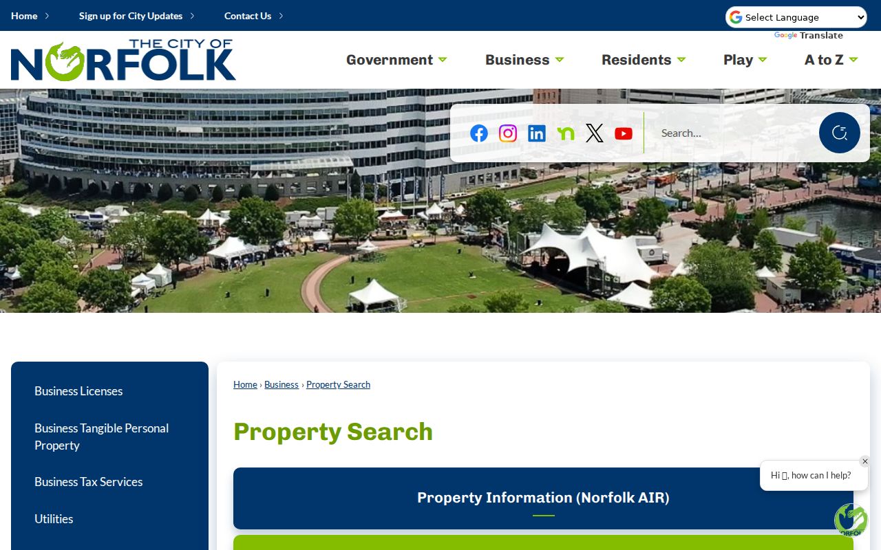
Use the hub to select the custodian for the question at hand. AIR and GIS answer parcel and map questions; the Circuit Clerk supplies the recorded instrument behind a legal-transfer question.
For a missing map layer or a record not online, use the city department named by AIR's contact routing, inspect the public counter when the record type allows, or send a reasonably specific request to the custodian. Virginia FOIA does not require a public body to create a new block roster.
Norfolk Neighbors and Civic Leagues
Norfolk maintains a civic-association inventory rather than a city-managed neighborhood membership directory. The current inventory can include association type, active status, ward, superward, Neighborhood Service Area, website, meeting schedule, and contact fields. The city says civic associations are not regulated by the city and relies on them to keep their contact information current. AIR can identify the civic league for an address: enter the street, choose Info, then Civic. That makes the address the proper starting point for a community-organization question.
City civic-association database
Norfolk Civic Associations provides the city’s association inventory and explains the AIR address-routing method.
Current association list
The 2026 civic-association list supplies the published status, geography, meeting, and contact fields.
Local geography
Use the civic-league polygon with ZIP, ward, and City Limit layers. Each labels a different form of Norfolk geography.
The city’s civic-association page is the source for the organization layer.
An association contact or meeting schedule can help identify a public community channel. It is not evidence of membership or a substitute for a verified household record.
Norfolk Neighbors and Voter Records
Virginia Code §24.2-444 permits a limited public voter-list shape: name, address, year of birth, gender, and applicable election districts. The statute excludes Social Security information, day and month of birth, protected residence addresses, registration-agency identity, and other protected data. The Virginia Department of Elections Citizen Portal is a person and status, polling-place, district, absentee-status, and voting-history portal. It is not a tool for exporting everyone on a Norfolk block.
A full voter-list request uses the ELECT voter-list form, which requires requester information, client type, locality, filters, and a product choice. The documented filters include locality, district, election district, and election, not a general ZIP or street household list. Norfolk Elections also offers counter, phone, mail, and registration-form channels. Protected voters and nonregistered residents remain outside an ordinary public list.
Norfolk Neighbors Across Boundaries
A nearby Norfolk address can sit in a different ZIP, civic league, ward, neighborhood service area, or even City Limit relationship. Interactive Norfolk includes all of those layers. Check them before explaining why two adjacent parcels carry different postal or civic labels. A ZIP is postal geography, not municipal jurisdiction. A civic league is community geography, not a property-right boundary. A map result should be saved with its date and layer name because the legal evidence remains in the deed, assessor record, or certified record.
Historic boundaries add another layer. Norfolk’s maps cover annexation periods from 1890 through 1959/1988, and Hampton Boulevard was formerly Atlantic Boulevard in the 1920s. Former Norfolk County, Berkley, and Portsmouth names can occur in older directories or deeds. Preserve the original locality label and the current parcel crosswalk rather than assuming that a changed address means a changed neighbor relationship.
Norfolk Neighbor Sources Compared
Official records and commercial neighbor tools answer different questions. A public map or index lets the reader inspect a source’s custodian, field limits, and date. Commercial tools may combine public records, marketing data, and licensed data, which can be stale or blend people with the same name. For a block question, the first choice should be the official parcel and GIS record, followed by the correct custodian for a deed, election, or community-organization question.
| Source type | Best use | Limit to keep in view |
|---|---|---|
| Official parcel and GIS records | Map adjacency, parcel identifiers, city and civic layers | Do not identify every occupant. |
| Recorded land records | Confirm a legal transfer or description | Need counter, Special Index, or SRA access; clerk does not search for requesters. |
| Commercial compiled tools | Possible lead requiring independent confirmation | May be stale, incomplete, or mix same-name people. |
When a result matters, retain the official URL, search date, parcel or instrument number, and the source’s stated limits. That is more useful than copying a list of names from a source with unknown provenance.
Norfolk Neighbor Records Need Dates
Public records systems change, so the date of access belongs in every block note. The Norfolk Sheriff announced on October 9, 2025 that its rebuilt inmate lookup returned after a cybersecurity outage. The tool reports current jail fields such as inmate ID, booking date, charges, and booking photo. It is not a neighbor directory and cannot establish a connection between a person and an adjacent address. The example illustrates why a current system label and a source date matter.
The Norfolk Sheriff’s restoration notice records that change in availability.
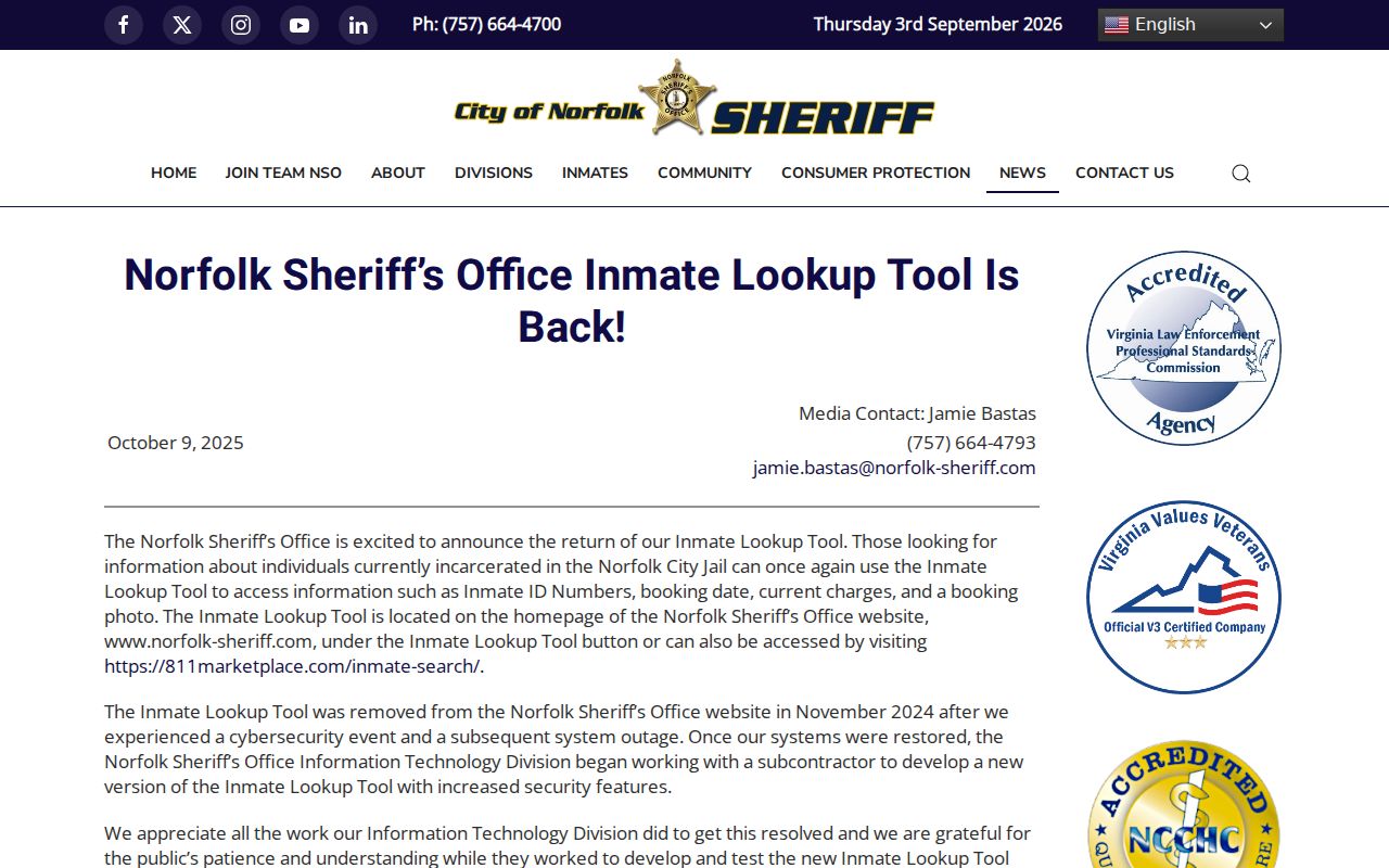
Use the right public system only for its documented purpose. A change in one agency’s search service does not expand the information that parcel, voter, civic, or court records lawfully show.
Norfolk Neighbor Privacy Limits
Private utility-customer data, DMV address information, protected voter addresses, sealed or expunged court material, and confidential vital records are not made public through a Norfolk parcel search. The Virginia Attorney General’s Address Confidentiality Program gives eligible participants a substitute mailing address while their physical address is held confidential for official purposes. If a public record looks wrong, contact the assessor for property fields, Elections for voter-status questions, the Circuit Clerk for land or case index questions, or VDH for a certificate question.
Virginia’s stalking law covers repeated conduct directed at another person when it is intended or known to cause reasonable fear. Keep the record question narrow, use the stated custodian, and stop when the data are protected or do not support the conclusion.